The 2018 season involved both extensive survey (visiting and recording sites that had been identified through published literature, the remote sensing of satellite imagery, and Soviet period 1:25000 topographic maps drawn in the early 1960s and based on aerial photographs from 1954-1955), and systematic transectsurvey of a selected area located near the site chosen for excavation (Tsiteli Gorebi 5). The survey had located 70 sites, which ranged from Medieval churches to low mounded sites likely representing prehistoric settlements. The location of these sites varied in altitude from ca 200 to ca 700 m a.s.l. A few additional sites were visited during the course of the 2019 excavation season (in July), but no formal archaeological survey was completed.
The first season of survey highlighted the deep transformations of the anthropic landscape brought about by the practice of intensive agriculture during the Soviet and post-Soviet periods, which resulted in the destruction of many archaeological sites, and in the poor preservation of most of the remaining ones. Equally, ground visibility had been rather poor due to the thick summer vegetation cover and to the fact that most of the fields in the survey area were still under crop, or had only been recently harvested in June/July, and therefore still contained at least 20 cm of ‘stubble’, and were partially overlain by hay.
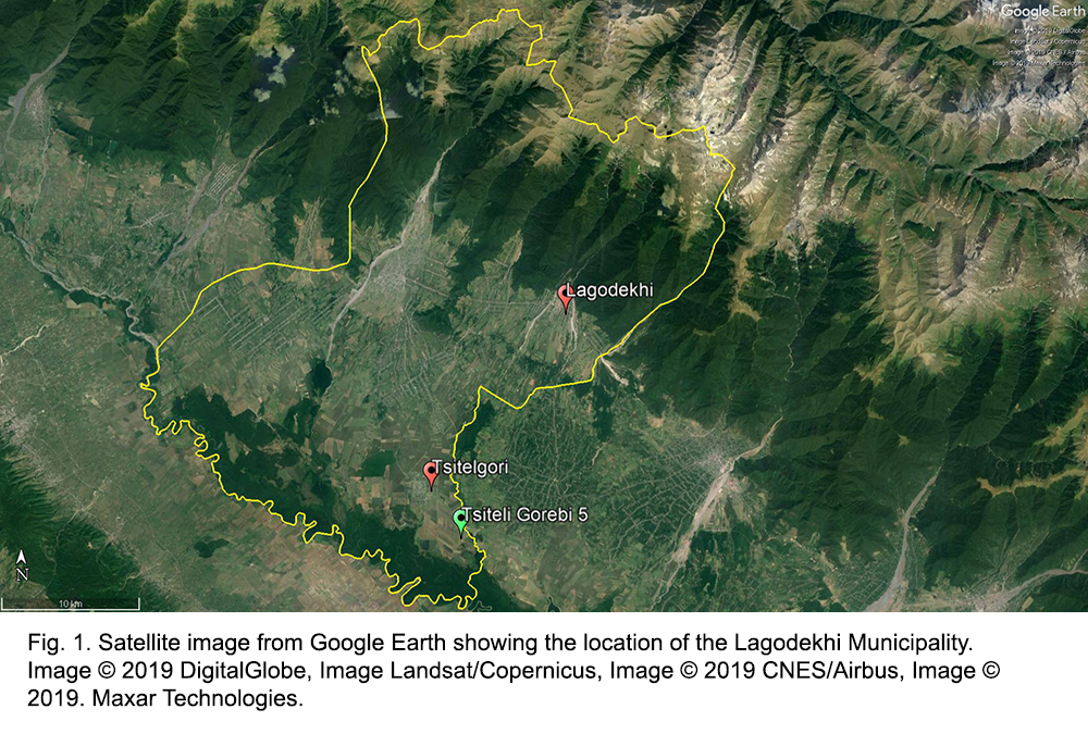
The aim of the 2019 season was therefore to continue the extensive archaeological survey of Lagodekhi Municipality (Fig. 1) initiated in June-July 2018, and to undertake intensive transect survey in selected areas of interest. The timing of the 2019 season in October-November was chosen to take advantage of the better surface visibility afforded by the recent ploughing of fields in the region.